Santuario de la Naturaleza (english)

|

|
| <googlemap version="0.9" lat="-33.28" lon="-70.44" zoom="13" width="380" height="570" type="terrain"> </googlemap> |
Right time
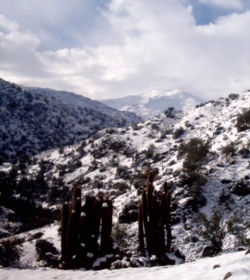
You can do all year. Ideal just after a storm when the mountain is snow up and down the route has more brightness. September and October, when the slopes are green and the waterfall has some water.
Access
Car or Bike
Reaching the east end of Avenida Las Condes to La Plaza San Enrique. Once in the Plaza, turn right onto Camino Pastor Fernandez to the drawer, where you should turn left (there is a green sign that points the Sanctuary). Continue to the end of the street. For more information: Santuario de la Naturaleza
Public Transport
Buses only go to the San Enrique Suqare in the corner of Avenida Las Condes with Pastor Fernandez. From there, there are groups to the Nature Sanctuary, for about $ 1,300 (PRECIS)
Route description
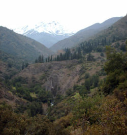
From the entrance of the Nature Sanctuary of Myrtle, continue driving along the road vahicular. After 1.05 miles you reach a fork. The vehicle road climbs the left towards an old abandoned house and the path Nature Sanctuary - Avenida La Dehesa. It should be right and pass the first parking area. Just before the bridge over the Estero Arrayán to reach the area where barbecues, there's a vehicle track to the left, which borders the estuary on the west bank. You follow it to the end, which ends another area of roasts, to 1.65 miles from the entrance to the shrine. From there it starts the walk, along the estuary. After 10 minutes, compared with a dense thicket, a small bifuración arises. It should be left, and climb a little slope, then the other goes down the stream. About 10 minutes later, the trail ends at the estuary, whose opposite bank is located a hut round the large pool and the Cal Spas, which have water at 20 º C all the year, but reheated to between 30 º C and 42 º C. Depending on the season, it might be necessary to remove your shoes to cross the creek. From that point, the path is very clear to the end, always on the east bank of the estuary. The trail starts to rise gradually over the estuary, and shortly after there is a prospect of the valley and the Nevado de Los Angeles (3623 m), which acts as a backdrop.
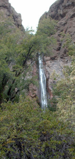
After about 15 minutes later you must cross a fence, and another half hour after crossing a small stream that carries water only in winter and early spring. Shortly after you reach an area of large pine trees, where a stone corral. Overcoming the area of pines, he soon will be visible two large circular corrals the valley bottom. Then there is a second fence, which will also be crossed. Then it crosses a second valley, with more water than before and that is a good place to supplies. Then there is a long stretch (and a bit boring truth) before reaching a stream by a waterfall which falls a few yards up the trail. From this point it takes about 20 minutes to the confluence of the estuaries, marked the end of this trek.Expected Time
- Trekking: In a normal pace, this trek should take about 3 to 3 ½ hours from the parking lot to the confluence of the estuaries. The lap time should not be much lower, it is little to be gained height.
- Mountain Bike: About an hour and a half to the confluence, an hour back
Variants
- You can also make the path from the beginning with the east bank of the estuary, rather than cross at the Baths of Cal This saves the crossing, but requires travel on a path much more rugged, with several cuts, and that its final stretch precariously borders the estuary. In any case, this is only an alternative (and not so desirable) for trekkeros, because a bicycle if it is not an option.
- You can also continue beyond the splice junction and a vehicle road from the mine's Bronzes
Sanctuary (array) (Input)
Recommendations
- From the confluence, it is possible to cross the creek and continue rising (there is a path) until the junction with a vehicular route from the mine's bronzes.
- Truth be told, this route is not too bright to walk. Santiago's only recommended for searching for new and less visited valleys. Mountain bike itself is more attractive.
Waypoints in Google Earth
- Ruta del Estero array.
To download the file right-click and then select "Save file as" (IE) or "Save link as" (Firefox, Chrome). By trying to open it directly, some browsers will show the raw code with the coordinates.


