GPT17P (Neltume)
Add a new log entry always on top in the appropriate season sub-chapter and use format:
* Start Date to Finish Date (use Format YYYY-MMM-DD) / Duration in Days / Hiking or Packrafting / Travel Direction (SOBO for Southbound or NOBO Northbound) / Chosen Route and/or Option Name (RR for Regular Route) / Names or Alias
Summary with remarks to route that are considered useful for other hikers and packrafters. Include alerts, suggestions and personal perception of attractiveness and difficulties.
Add a sub-chapter by placing two "=" before and after the new sub-chapter heading ('==Sub-Chapter Heading==').
Contenido
Section Log, Alerts and Suggestions
Season 2025/26
Season 2024/25
Season 2023/24
- 2023-Dec-05/ 2 days / Packrafting / SOBO / 17P-A + 17P / Lauren & Sebastian
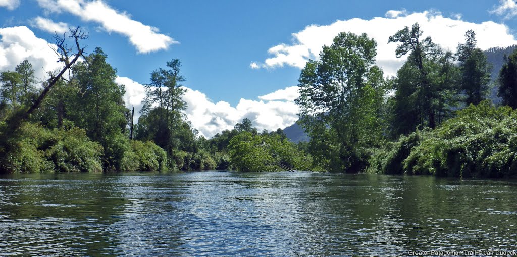
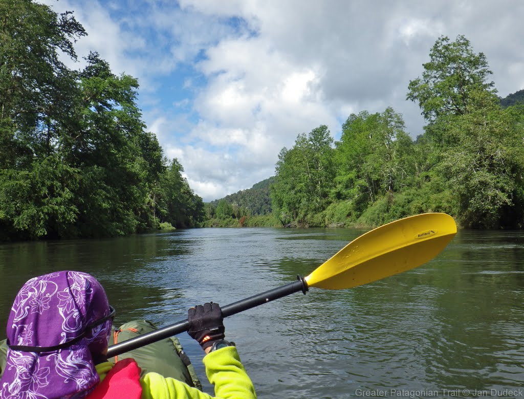
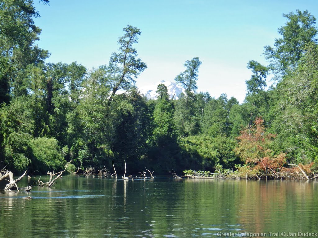
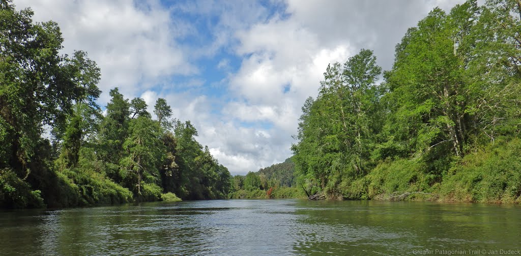
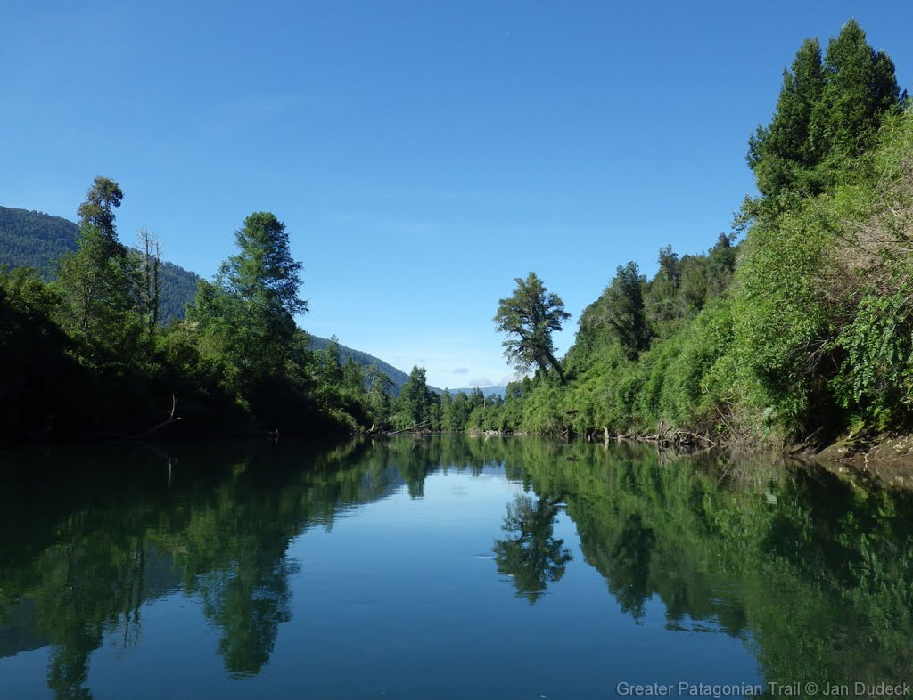
We took the bus from Valdivia to Panguipulli and caught a connecting bus on the same day to Liquiñe that dropped us at {17P-A} [1.3+1.7]. We hiked down the road to camping Quilmio which was closed. After that, we crossed the bridge and spoke to the owner of the land who let us camp there for a small fee. The next day, we rivered in under the bridge. Meandering downstream in Rio Cua-cua was peaceful but required attention to look out for fallen trees (which are easy to spot). Headwind started to build up as we approached Lago Neltume around late afternoon. Because of the relatively strong headwind and waves, it required hard paddling and progress was not as fast as we expected. However we managed to reach the end of the lake by evening and camped at Camping Neltume Lake Paradise ($7000 per person). The next day, we hiked on the paved road to Neltume, from where we hitch-hiked to Puerto Fuy. Along the road, we saw signs to an interesting volcanic cavern trail which we did not explore.
- 2023-Nov-20 / 2 days / Packrafting / SOBO / 17P-01 + 17P-01A + RR / Tom Pieper
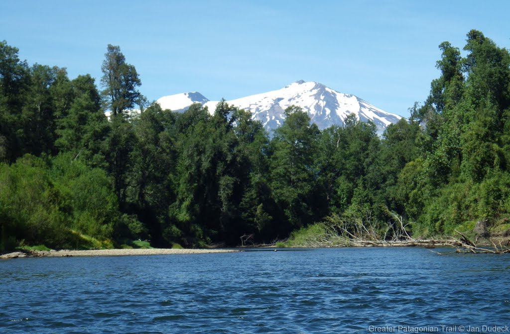
I started from Conaripe (transfer by bus from Pucon with change in Villarica) with option 01. After a short wlak through town and farmland I inflated my packraft and crossed Lago Pellaifa. There is space for camping on the southern shore but its farmland I guess. I stayed at Termas Pelleifas (Hot Spring, Camp $ {17P-01} [12.2/232]) which have nice pools of different temperated water. I was nearly alone there. Next day I walked to Rio Liquine and entered at the bridge near Camp $, River {17P-A} [2.7/208]. The stream looks a little bit turbulent at the bridge but its gets more gentle just after the next bent. Its a beautifull journey down the river. Only few obstacles which were easy to spot. I crossed the Lago Neltume afterwards, too, which was easy with backwind. I landed at the camp spot on the other side of the lake but do not recommend camping there but walk further 300m. Camping Rio Chan-Chan (Camp $ {17P} [25.3/206]) is far more beautifull and costs the same ($7000). The next day I walked the steet to Porto Fuy for a few kilometers until a bus passed.
Season 2022/23
- 2023-Jan-03 / 1 day / Packrafting / SOBO / Zach
A peaceful paddle through the woods. There was one fallen tree across the river requiring easily lifting the boat over. The lago Neltume was very head windy in the afternoon so I walked the road but was quickly offered a ride to Ruta 203 where a bus soon passed.
Season 2021/22
Season 2020/21
Season 2019/20
- 2019-Dec-3 / 2 days / Packrafting / SOBO / RR / Shaun C
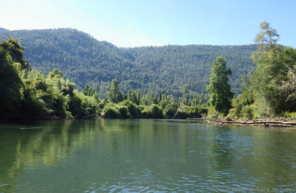
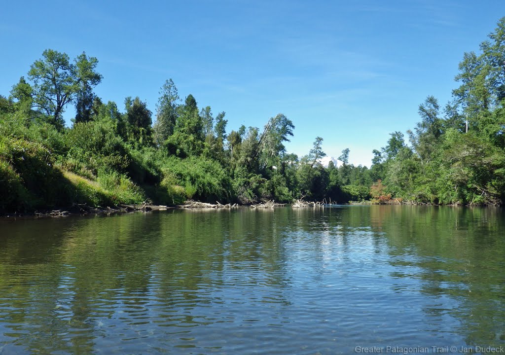
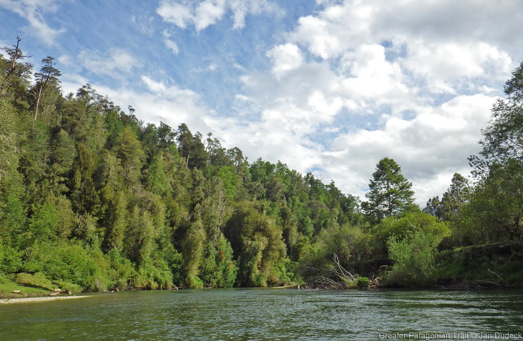
Plenty of semi-submerged trees in the Rio Liquiñe/CuaCua, but the river is passable and relatively gentle throughout. The entrance to Lago Neltume from the river is beautiful. The hiking turn-off after Neltume at Km 35.7 seemed clear. There’s a wooden gate, then dirt roads. Also spent a few extra hours away from regular route exploring Op-Mr-V@17P-03 to see if there was a way across Rio ChanChan after previous destruction of the bridge. No luck. Seems bridge has not been replaced and in a definitely-not-thorough search, I didn’t find an easy alternative crossing point.
Season 2018/19
Season 2017/18
- Kara Davis
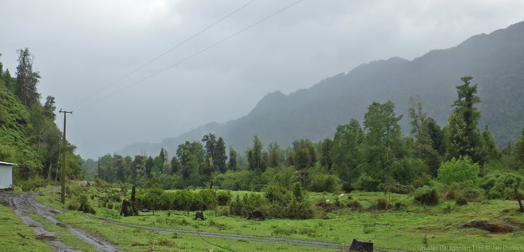
The GPT does not go through Carriringue, but if you do decide to go into town the route is easy to rejoin by walking south along the paved road, T-29, to Río Liquiñe. There is an established campsite (5.000 CLP/night) which is part of the Red de Turismo Rural where the paved road crosses the river. This campsite has flush toilets, cold showers, and trash. The Río Liquiñe is windy and narrow. Pay attention to the several semi-submerged fallen trees that litter the river. The packrafting portion of this section ends with a 4 km paddle along the eastern shore of Lago Neltume. There’s easy access to the road, T-29, the entire time, but camping is improbable due to the abundance of private property. At the end of the lake paddle, there is an established campsite (5.000 CLP/night). This site has flush toilets and trash. Alternate Route: At this point, the recommended packrafting route turns off T-29 onto a gravel road. DO NOT TAKE THIS ROUTE. It eventually leads to a river that is now impassible due to a destroyed bridge. An alternative is to continue along T-29 until reaching the highway, 203-CH. Follow this highway through Neltume all the way to Puerto Fuy. Although the recommended packrafting route turns off of the highway after Neltume, on the ground it was unclear where this turnoff was. We decided to road walk all the way to Puerto Fuy. Comment by Jan Dudeck: Last season and this season 3 hikers/couples attempted to follow this route (RP-MR-V@17P-25.1). Two turned back, one made it over the river mentioned by Kara above. So the safest option is currently not take regular route (track RP-MR-V@17P-25.1) but stay on the main road taking Variant “H” (track OP-PR-V@17P-H-#). Town: Neltume/Puerto Fuy to Panguipulli Neltume has options for lodging, a few restaurants, and a bus to Panguipulli—the closest large town for resupply. Ask a local for directions to the bus stop and about arrival times. At Puerto Fuy, there were several signs advertising lodging. However, it would be difficult to resupply here. Comment by Jan Dudeck: I recall about half a dozen mini shops in Puerto Fuy that are sometimes hidden in the side roads. But its a best practice to resupply in the first bigger shop you find on the route (i.e. Neltume) and try in the next village to purchase what you did not get in the first place (i.e. Puerto Fuy).
Season 2016/17
Resupply and Accommodation
Resupply and Accommodation in nearby Towns
Puerto Fuy has a few restaurants and food shops.
Resupply and Accommodation along the Route
Transport to and from Route
Regular buses run from Puerto Fuy.
A car and passenger ferry runs the length of Lago Pirihueico several times a day from Puerto Fuy to the south-eastern end of the lake.
Permits, Entry Fees and Right-of-Way Issues
Links to other Resources
Retired Section Article GPT17P - Neltume

