Diferencia entre revisiones de «GPT17H (Liquine)»
(Etiquetas: Edición desde móvil, Edición vía web móvil) |
(Etiquetas: Edición desde móvil, Edición vía web móvil) |
||
| (No se muestran 2 ediciones intermedias del mismo usuario) | |||
| Línea 22: | Línea 22: | ||
==Season 2023/24== | ==Season 2023/24== | ||
| − | *2024-Mar-29 to 2024-Mar-31 / 2 days / SOBO / RR D / Matthias de Austria | + | *2024-Mar-29 to 2024-Mar-31 / 2 days / SOBO / B RR D / Matthias de Austria |
Short and easy section. Some nice lakes and hiking through dense valdivian rain forest. No tabanos nor mosquitos, snowfields or wet feet fords. Parts might be muddy after heavy rainfall. Limited water beside lakes. No water at water? 20.3/942 no gate at 17.4/985 | Short and easy section. Some nice lakes and hiking through dense valdivian rain forest. No tabanos nor mosquitos, snowfields or wet feet fords. Parts might be muddy after heavy rainfall. Limited water beside lakes. No water at water? 20.3/942 no gate at 17.4/985 | ||
| − | Gate 12.0/801: Entry fee 3k. Toilet there, waste bin and some benches with volcano view. Possible camp at 39.777226,-71.870598 close to laguna Ancacoihue/Corazon, which has quite sediment rich water. | + | Gate 12.0/801: Entry fee 3k. Toilet there, waste bin and some benches with volcano view. Possible camp at -39.777226,-71.870598 close to laguna Ancacoihue/Corazon, which has quite sediment rich water. |
| − | Camped inside the hut at 39.797914,-71.848616 due to rainy forecast. No direct access to the lake there, but a 5min walk south at lake, no camp 18.2/978. Don't know why no camp here, I think there is plenty of space and no forbidden sign around. Possible to swim but first 2m grown shore, then suddenly very deep. Refuge 18.2/978 burned down. | + | Camped inside the hut at -39.797914,-71.848616 due to rainy forecast. No direct access to the lake there, but a 5min walk south at lake, no camp 18.2/978. Don't know why no camp here, I think there is plenty of space and no forbidden sign around. Possible to swim but first 2m grown shore, then suddenly very deep. Refuge 18.2/978 burned down. |
| − | First water from stream at 39.824602,-71.851464, there is also a bridge at 39.824787,-71.851347 | + | First water from stream at -39.824602,-71.851464, there is also a bridge at -39.824787,-71.851347 |
| − | Don't miss junction at 39.826732,-71.848505, you have to turn right to the bad road otherwise you will walk to laguna chan chan. | + | Don't miss junction at -39.826732,-71.848505, you have to turn right to the bad road otherwise you will walk to laguna chan chan. |
I put a log on ford 31.0/610 for dry feet crossing. Plenty of campsides around, fireplaces, a table...lake is the best for swimming, easy access, clean almost warm water end of March. | I put a log on ford 31.0/610 for dry feet crossing. Plenty of campsides around, fireplaces, a table...lake is the best for swimming, easy access, clean almost warm water end of March. | ||
| Línea 37: | Línea 37: | ||
Next to water 34.0/646 a camp should be possible. | Next to water 34.0/646 a camp should be possible. | ||
| − | Shortly before Puerto Fuy don't follow the road, it leads to a locked gated at 39.870979,-71.889116. Or do so, then just walk a minute along the fence direction to the lake until there is a easy to walk through whole in the fence. | + | Shortly before Puerto Fuy don't follow the road, it leads to a locked gated at -39.870979,-71.889116. Or do so, then just walk a minute along the fence direction to the lake until there is a easy to walk through whole in the fence. |
2024-03-06 // 1 day // Hiking // NOBO // RR + variant B // Quentin Clavel | 2024-03-06 // 1 day // Hiking // NOBO // RR + variant B // Quentin Clavel | ||
| Línea 310: | Línea 310: | ||
==Resupply and Accommodation in nearby Towns== | ==Resupply and Accommodation in nearby Towns== | ||
| − | Panderia, pasteria, minishop and cafeteria at 39.741773,-71.855479. I said I take 10 eggs if they cook it hard, they do so for 1k. +3k for the eggs. | + | Liquine: Panderia, pasteria, minishop and cafeteria at 39.741773,-71.855479. I said I take 10 eggs if they cook it hard, they do so for 1k. +3k for the eggs. |
In Liquine there are a few small shops. There are also some open air markets, you can get breakfast & lunch there. They open around 10:30 AM. 2 restaurants in Liquine but neither of them was open when I was there (Feb 2020) | In Liquine there are a few small shops. There are also some open air markets, you can get breakfast & lunch there. They open around 10:30 AM. 2 restaurants in Liquine but neither of them was open when I was there (Feb 2020) | ||
Revisión actual del 11:24 6 abr 2024
Add a new log entry always on top in the appropriate season sub-chapter and use format:
* Start Date to Finish Date (use Format YYYY-MMM-DD) / Duration in Days / Hiking or Packrafting / Travel Direction (SOBO for Southbound or NOBO Northbound) / Chosen Route and/or Option Name (RR for Regular Route) / Names or Alias
Summary with remarks to route that are considered useful for other hikers and packrafters. Include alerts, suggestions and personal perception of attractiveness and difficulties.
Add a sub-chapter by placing two "=" before and after the new sub-chapter heading ('==Sub-Chapter Heading==').
Section Log, Alerts and Suggestions
Season 2025/26
Season 2024/25
Season 2023/24
- 2024-Mar-29 to 2024-Mar-31 / 2 days / SOBO / B RR D / Matthias de Austria
Short and easy section. Some nice lakes and hiking through dense valdivian rain forest. No tabanos nor mosquitos, snowfields or wet feet fords. Parts might be muddy after heavy rainfall. Limited water beside lakes. No water at water? 20.3/942 no gate at 17.4/985
Gate 12.0/801: Entry fee 3k. Toilet there, waste bin and some benches with volcano view. Possible camp at -39.777226,-71.870598 close to laguna Ancacoihue/Corazon, which has quite sediment rich water.
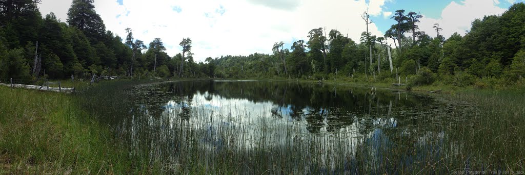
Camped inside the hut at -39.797914,-71.848616 due to rainy forecast. No direct access to the lake there, but a 5min walk south at lake, no camp 18.2/978. Don't know why no camp here, I think there is plenty of space and no forbidden sign around. Possible to swim but first 2m grown shore, then suddenly very deep. Refuge 18.2/978 burned down.
First water from stream at -39.824602,-71.851464, there is also a bridge at -39.824787,-71.851347 Don't miss junction at -39.826732,-71.848505, you have to turn right to the bad road otherwise you will walk to laguna chan chan.
I put a log on ford 31.0/610 for dry feet crossing. Plenty of campsides around, fireplaces, a table...lake is the best for swimming, easy access, clean almost warm water end of March.
Next to water 34.0/646 a camp should be possible.
Shortly before Puerto Fuy don't follow the road, it leads to a locked gated at -39.870979,-71.889116. Or do so, then just walk a minute along the fence direction to the lake until there is a easy to walk through whole in the fence.
2024-03-06 // 1 day // Hiking // NOBO // RR + variant B // Quentin Clavel
From Puerto Fuy, it's a smooth hike until liquine, where the trail is easy to follow.
At PK 13,7 you'll reach Laguna ancacoihue, that has been transformed into a tiny and cute touristic hike, because of the heart formed by this Laguna. So you'll probably see some people walking threw this "Laguna Corrazon" to/from the end of the gravel road PK 12. During these 2 kilometers, the trail is very well marked and indicated, there's even ramps to helps you to go up/down. An amazing Mirador has been setup as well with sick view on the volcanoes Villarica end Lanin. Nice place indeed !
As I came nobo, I haven't had to pay anything, but probably going SOBO, you'll pass the entrance of this hike first (at the end of the gravel road) and have to pay to access here.
Then after 10 kilometers on a gravel road, you'll reach the asphalt and arrive in liquine. I passed threw the "center" where there's at least one hospedaje, few minimarkets, place to eat and few thermals.
After a necessary stop at the panadería/café for some dulces and fresh fruits juice (Variant B, passing threw the city) I continued my way to the next section.
- 2024-Jan-20 to 2024-Jan-21 / 1.5 days / Hiking / SOBO / {17H-A} - {17H-B} - RR - {17H-D} - RR / Lilian
{17H-A} km0 : Settlement, shop[66.5/237] : small shop, a little pricey but good stock for resupply, very friendly. ( I think the shops in Liquiñe is much pricey too)
Km1.55 : two tiny shops here. (-39.70430, -71.86316)
Then i joined RR.
RR km0.95 : tiny shop. (-39.71282, -71.85403)
Km1.95 : tiny shop. (-39.72135, -71.85373)
Then i take {17H-B} keep going on the main road.
{17H-B} km0.55 : two small shop and one tiny shop just beside the "Liquiñe" waypoint. Lot of food resupply options, also some restaurants nearby.
Km1.3 : junction of RR and {17H-B}, a tiny shop here(-39.74016, -71.85511), if you want to cross Río Liquiñe to hot spring, it is the correct place. Ask the staff in shop, and they'll find somebody to row the boat for you.
RR ferry[5.7/237] : if noone here, ask at the tiny shop beside the road. As they said, looks like the earliest time for rowing boat is 9:30am, until maybe 8pm? Because i crossed here at 8pm. I'm not sure how much for the boat, maybe 500 CLP, but i paid 1000 CLP because I arrived here too late, and the guy need to go to some place else for finding the key to unlock the boat for me.
Walking on a clear path to Termas Punulaf. The price for camping in 2024 is 20,000 CLP. The hot spring looks like a swimming pool, that of course hot spring water, with perfect temperature. About the camping, picnic table, light, a line for hanging clothes, sandy spot, toilet and covered by a shelter.
Soaking the hot spring in early morning, sit beside the inlet for relaxing, it makes a good start of a new day!
It is the HIGHLIGHT of GPT16's ending or start of GPT17, don't miss it!
Km6.3 : tiny shop(-39.74271, -71.85464).
Lucky me, get two rides from X,shop[7.1/308] to gate[12.0/801] directly!
Km10.95 : bus stop, maybe bus comes to here?
Gate[12.0/801] : talk with a young guy at here, register some basic information but no fee need to pay, he also fill up my water bottle, thank you to him!
From here to km13.4(Laguna Ancacoihue), steep climb up but very easy to follow, just follow some red sticks to go, lot of benches for rest, handrail if you need and some nice viewpoint platforms. The viewpoint at (-39.77073, -71.86505), beautiful platform with Chile flag, background are Volcán Villarrica, Lanín and the valley of Liquiñe, such a amazing picture!
When you arrive Laguna Ancacoihue maybe a little confused where is the trail to go. Trail is under blowdowns now for a few meters. Walk a little close to the lake(no need wet feet) and go around the fence that covered by blowdowns, a nice trail(road) is beside the fence.
After you follow the road walking about 5-10 min, you'll find some Red Bird sign(Huglo Huglo) and white red print at tree. They'll leads you to the Lago Quilmo(km17.4), follow them! If you see a white red print "X", it means "this is a wrong way".
Km13.7 : camping spot with fire ring, log sests, benches, picnic table. Still some more flat spots in 100m south.
Km15.6 : junction of RR and {17H-C}, a white red print "X" and lot sticks are put on the way to north.
Km15.8 : junction of RR and {17H-D}, RR is blocked by many huge blowdowns, Red Bird and white red print is at {17H-D}, also the road looks clear, so go for it.
{17H-D} km0.1 : sky blue ribbon start, it'll leads you the way too.
Km1.45 : Junction. Red Bird and white red print at left side go around the lake at east side, sky blue ribbon at right follow RR at west side. Go for RR.
Rejoin RR, and there are some blowdowns on RR at here too, i think {17H-D} is replaced RR completely.
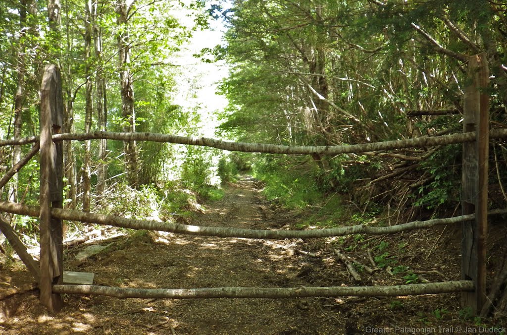
Gate RR[17.4/995] : no gate.
Km18.05 : an empty hut(-39.79772, -71.84869) without door and windows, wooden floor is in good condition and clean. Looks like can used for staying away from bad weather.
Refuge[18.2/978] : The cabin? Hut? Is already burnt down. Just leave a burn out area and and an empty small hut, but lot of trash and dirty inside. The hut at previous is much better.
Lake,no camp[18.2/978] : at least five fire pit here...in a very small area. Why don't people just use other's old pit? Burning another green area is fun?
The water condition at here is better than Laguna Ancacoihue.
Km18.45 : four way junction, met Red Bird and white red print agian, but we still follow the sky blue ribbon.
X[18.9/1016] : junction to Laguna Chan Chan, Red Bird and white red print on the way to Laguna Chan Chan, follow sky blue ribbon and turn right here.
X[19.9/927] : sky blue ribbon go right. New colour, orange ribbon go left for RR. No more sky blue ribbon on your hike.
Water?[20.3/942] : no water here.
Ford[21.9/994] : beautiful water! A bridge here now. Crystal clear swimming pool at just downstream, nice spot for hot day. Some huge blowdowns help you go down to the pool.
Km23.15 : Red Bird again, follow it and orange ribbon all the way to Pozo de Oro.
Bridge,camp[25.0/1212] : bridge for cars already broken, just left a exciting log here. Better turn right go down for board bridge crossing. I didn't see any flat or camping spot. Water flowing slowly.
Km25.9 : views of Volcán Mocho (very little).
Km26 : road turns to a single track trail gradually.
Bridge,camp[27.5/1026] : bridge for cars already broken too. Cross by a log bridge now. Water flowing good and slowly. Grassland can fit 1-2 tents before go down for the crossing.
After some forest tunnel, you'll arrive Pozo de Oro, camping spot can fit many tents covered by tall trees, with fire ring, benches and picnic table. Also it is close to the lake.
Ford[31.0/610] : dry feet crossing, another crossing after here 100m, above ankle, or you can log crossing at 30m downstream.
Lake,camp[31.1/672] : sandy spot can fit 1 tent under a tree with lake views, i met some friendly locals driving their boat to here when i camped at weekends. Sleep with the peacey lake wave is great!
Keep follow Red Bird and orange ribbon for a little more.
Km31.4 : three way junction, DON'T follow orange ribbon climb up at right side, going straight on left side.
Km31.5 : three way junction, RR is turn left going down, OSM have a trail going right climb up for short cut. RR is in better condition, but OSM one is also good condition and much shorter. It'll connect RR at km31.75. And Red Bird start here.
Km31.75 : four way junction, if you follow OSM trail, turn right and climb up. If you follow RR, go straight and climb up.
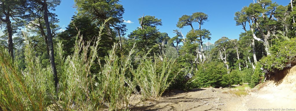
After about 300m, Red Bird and white red print again! You can follow them, but they are not so frequently like before, also will disappear after a while.
Water[34.0/646] : grassland can fit 1-3 tents before the beautiful water, it is flowing low but clear and taste good. After here, trail becomes a dirt road.
Km34.3 : The wooden platform that Coline & Hermann slept still in progress about 70%, have windows and door, already locked up.
Km34.5 : huge flat area beside the beach under some trees, (car) camping spot.
Bridge[34.9/630] : log bridge crossing, (car) camping spot about 50m before it.
Km35.0 - km35.2: Camping Gratis, huge beautiful grassland (car) camping spot, i saw about 20 cars and many tents at Sunday morning. Spot covered by trees is loved by cars, hiker better camping at km35.2, no trees and car campers don't like it.
Km35.3 : some more (car) camping spot here, close to beach.
About the ferry and time schedule in 2024,
Tourist information center (-39.87183, -71.88962), you can buy the ferry tickets to Puerto Pirehueico at here, 1150 CLP one way. They also help me charging the power bank, super thank you to them!
Ferry from Puerto Fuy to Puerto Pirehueico: Monday(07:00,13:30,18:00), Tuesday to Thursday(09:00,13:30,18:00), Friday(07:00,12:30,17:00), Saturday and Sunday(08:00,12:30,17:00)
Ferry from Puerto Pirehueico to Puerto Fuy: Monday(09:00,16:00,20:30), Tuesday to Thursday(11:30,16:00,20:30), Friday(09:00,15:00,19:30), Saturday and Sunday(10:30,15:00,19:30)
Resupply in Puerto Fuy,
(-39.87320, -71.89134), (-39.87307, -71.89179), (-39.87373, -71.89390), (-39.87373, -71.89551), (-39.87375, -71.89775) : five tiny shops, combine together it is enough to resupply.
It is a tourist town, so lot of accommodation here, cabins or campground. Also some nice restaurants too.
When you are waiting the ferry, you can go for a boat tour, kayak trip, or take a nap on the beach under a big tree(-39.87178, -71.88877) like me.
2024-Jan-13 to 2024-Jan-14 / 1,5 days / Hiking / SOBO / RR / Yannick & Nolwenn
- Water : easy to find - Camping spot : at km 31,1 really nice camp on the lac with a table - Weather : Sunny and cloudy - Resupply : we had ressuply in conaripe, also possible in Linquine - Entry fee : at km 12 we had to pay 3000 pesos to use the track to the Laguna del Corazon Easy section
- 2024-05-01 / 1,5 days / Hiking / SOBO / RR from Liquine Alto / Jens
Easy walk on forest road and single trail for the last 20km. I was a bit confused by the different trails. The right one was not always the most beaten one. The ferry schedule at El fuy has changed. It is now 8 am. Timetable in the article of section 18.
Season 2022/23
- 2023-jan-27 to 2023-jan-29 / 3 days / Hiking / NOBO / RH + Laguna Chan Chan / Coline & Hermann
After sleeping on a wooden platform nearby at work-in-progress house at some 1km after the gratis camping of Puerto Fuy (nice view on the lake, the city and the volcano Mocho Choshuenco), we walked northbound on the regular route of the GPT17.
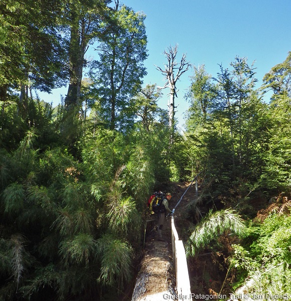
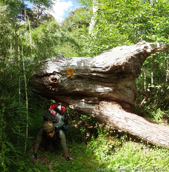
It is also still possible to camp on a tiny beach which the trail reaches (Camp {18-F} [1.2/672]). From there, it took us time to find the trail, because it actually required to... walk on a tweenty meters long fallen tree !
It seems possible to avoid this, by following the path marked with red bird signs.
During the sloapse after, the road turns into a 4x4 road, where you may meet some cyclists going southbound – fast as arrows !
We arrived at the crossroad (the one either following the trail or going to the lake Chan-Chan) at the end of the day, after 1000m up in altitud, and found a place to sleep on the way up, inbeetween two rivers.
The next day, we stopped several hours at the beautiful volcano lake, where one's can make fire nearby the wooden tables. The clear water is not deep, which makes it perfect for sitting and refershing – surrounded by the mountains.
We went back on the GPT, and noticed that the refuge at the arrival to the lake Quilmo has burned.
It is less attractive to swim there because of the vegetation. It is even more the case for the lake which takes place north-east of the optional road of the GPT (OH-TL-V {17H-D} [0.0+1.5]). However, it was nice to see so many lakes during this section !
Actually, the last one – the laguna Anacoihue – was the cutest one. As you see on the map, it's in shape of a heart ! There is a camping place on the west side, where you can make fire and leave your stuff to walk to the "mirador" at the inner point of the heart (at the sunset, for example).
The next day, we walked the way down to Liquiñe in the morning. There are wooden sculptures, benches and games for (little and grown-up) kids, until one's reaches the plains. From there, we could see the volcano Villarica, which was smoking (so maybe avoid to go to the glacier Pichillancahue or even at the summit of the volczno, if you plan doing the GPT16-04 after... Or at least, have a look on RED).
We could easily resupply at Liquiñe and even found bottles of gas (Pro-Gas) in the "fereteria" some 200m down the main road (Ruta 201 CH), after it crosses the road leading to the Termas Trafipan, in front of a white building.
The hot springs marked on the map are now "infrastructured" (so to say), which means they are not for free anymore, but also that you can charge your phone (for free if asking) and/or spend the night (for 15 to 25mil pesos / person / night) and enjoy the swimming pools.
In fact, we were told (after) that there is a natural hot spring only known by inhabitants.
- 2023-Jan-31 to 2023-Feb-01 / 2 days / Hiking / SOBO / RR + OH 17h-C / Maks & Gabi
Nice and easy trail even though the ascent on the beginning which follows dirty road with a lot of cars. We took OH 17h-C which is not worth it, there is a new gate on the way, and when we tried to go through the forest there were lots of fences. Than as written below the trail is marked and well maintained. We were doing RR, and it wasn't owergrown anywhere ( there is only one place somewhere around km 32 of RR when it's more worth to follow red bird sign than GPS navi, they are connecting once again after 100m) We were sleeping at Camping gratis in Puerto Fuy, it was ok, but there is a lot of homeless dogs and it's quite a lot of people and noise during the night. Puerto Fuy is a quite big and there are many buses (almost every hour ) to Panguipulli.
- 2023-Jan-29 to 2023-Jan-31 / 3 days / Hiking / SOBO / RR + Laguna Chan Chan / Will
Amazing section, don't skip it! Just make sure to take the openstreetmap route by Laguna Chan Chan instead of the main route.
I camped at the Termas de Punulaf after arriving via section 12. 15000 pesos, somewhat quiet, with some swimming pool style hot springs. Even a little restaurant. In the morning I walked along the field down to the river, where a kid rowed me across into town (500 pesos). Lots of shops for resupply.
The road walk up to the Laguna Corazon (aka Ankacoihue) trailhead would have been rough, thankfully I was blessed with a ride most of the way up. At the trailhead you'll find a nice lodge/cafe where I had to register and pay 2500 to hike to the lake. It's a cute trail, complete with benches and art and motivational signs. Great views of the valley.
After Laguna Corazon you'll end up on the Huilo Huilo trail, where you can follow the red bird trail markers all the way to Puerto Fuy along well maintained trail and dirt roads. Though the park's route seems to diverge from the main route twice, following variant D and the trail to Laguna Chan Chan.
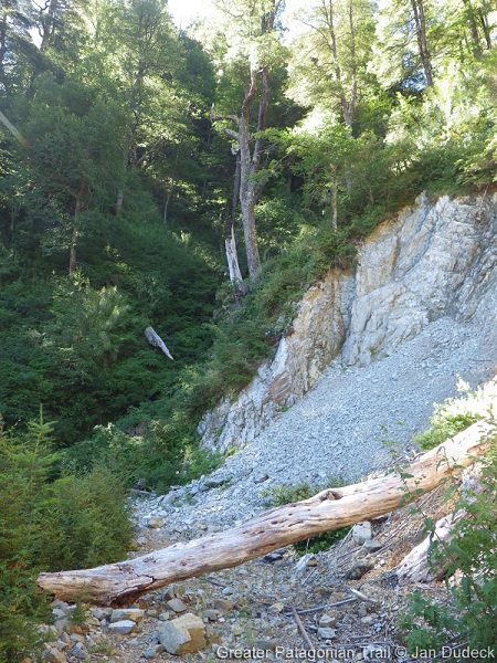
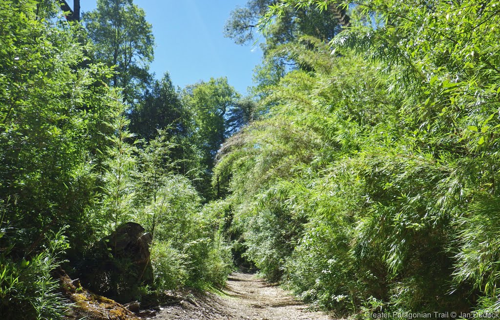
Variant D looked to be a well maintained (slightly bland) road, vs the main route which is an old road in the process of being reclaimed by the forest. Currently the main route's still not bad walking.
The trail approaching Laguna Chan Chan from the north was a highlight: thin, slower, steeper, more intimate. It eventually merges onto a dirt road heading down from the lake and west. The main route here was a plain gravel road (I went the wrong way along it for a few km).
There's well maintained campsites with picnic tables and everything at Laguna Corazon/Ankacoihue, Laguna Chan Chan, and at Pozo de Oro near the end.
The ferry at Puerto Fuy was sold out all day by the time I got there around noon.
Season 2021/22
Season 2020/21
Season 2019/20
- 2020-Feb / Hiking / NOBO / RR + Lago Chanchan / Matthieu
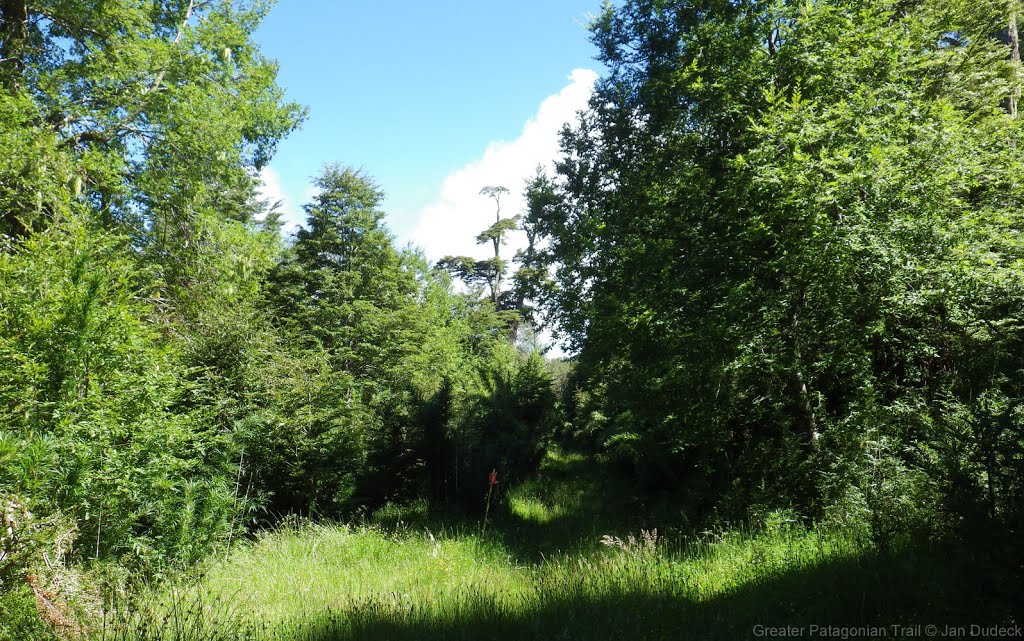
Another part of the Huilo Huilo parc, no entry fees in this sens. Nice for the forest walkers the like flowers and calm. Tracks well maintained in the form of 4x4 roads, easy to follow (Little red plastic birds sticked on the trees). I agree with Martina and Ivo on the attractivity of this section. There are a few lakes to see on the way, if you get off the RR, and it is worth the effort. The savage beach just a few kilometers after Puerto Fuy is a paradise to camp. Liquiñe is a nice place to rest, with camping and thermal water. Lots of shops.
- Lago Chanchan :
Talking to chilean hikers there, the main attraction seems to be the Lago Chanchan, which is actually a lake in a volcano crater, with a little beach, and a wonderful place to camp. I took the detour to go. From the waypoint "Refugio?" (which is actually the house of Juan, whose mission is just to take the names of the people going south, just for safety if they get lost. No fees, no stress. Juan is really nice and I could enjoy a nice coffee and discussion with him.), I came back going southbound to the Div 108. Then you take the little forest trail, that goes up gor 2-3 hours until the lake Chanchan. It is a little technical trail cutted in the bamboos, but in this sense easy to follow, following the little red birds. Just before the lake there is a Div where you arrive to a 4x4 trail. One road goes north to the lake, and the other one goes south to the "pozo del Oro", and I assume that this trail join the RR between "Bridge, camp2" and "DIV 110" I didnt explore it the next day thow, going back on my tracks by the little bamboo trail because I was initially going northbound. SO there is a path exploitable from the south part of the section, leaving the RR on a minor road, going to the lake Chanchan, and then going back to RR taking this little trail to the Div 108, making your experience really more attractive.
- 2020-Feb-09 / 1.5 days / Hiking / SOBO / RR / Martina & Ivo
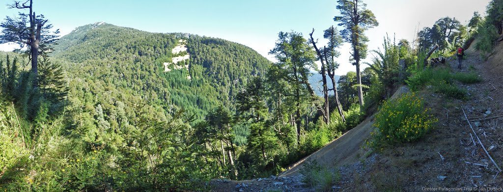
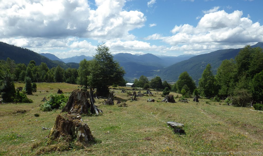
Here is our advertisement for this beautiful section: From Liquiñe alto to the beginning of the forest: great view to the volcanoes Villarica and Lanín. Nice trail to the enchanted Laguna Ankacoigüe. Then beginning of the Reserva Biológica Huilo-Huilo Sector Norte: stunningly huge trees and a sudden change of landscape, entering Valdivian rainforest for the first time. Only a short part of minor road between waypoint "lake, no camp" and the highest point of the section. The whole descent to Puerto Fuy is a attractive trail through pretty rainforest with views to the Volcán Choshuenco. 4 km before the village you find this pristine hidden lonely beach, perfect for a last rest before you arrive at busy touristy Puerto Fuy.
Our rating: 3
Don't skip ;-)
- 2020-Feb-08 / 2 days / Hiking / SOBO / RR / Frank
I met Martina & Ivo on the route & agree with their above comments. This section was an unexpected highlight & the campsite on the lake was the best. When you reach the lake you cross a river then arrive at the campsite which you will probably have to yourself. Avoid the campsites near Puerto Fuy as there are lots of car campers there.
Season 2018/19
Season 2017/18
Season 2016/17
Resupply and Accommodation
Resupply and Accommodation in nearby Towns
Liquine: Panderia, pasteria, minishop and cafeteria at 39.741773,-71.855479. I said I take 10 eggs if they cook it hard, they do so for 1k. +3k for the eggs.
In Liquine there are a few small shops. There are also some open air markets, you can get breakfast & lunch there. They open around 10:30 AM. 2 restaurants in Liquine but neither of them was open when I was there (Feb 2020)
There are a few places advertising cabins on the road in to Liquine & as you leave Liquine southbound there are two cheap hotels.
Resupply and Accommodation along the Route
Transport to and from Route
Permits, Entry Fees and Right-of-Way Issues
Links to other Resources
Retired Section Article GPT17H - Liquiñe

